HISTORIC TOWNS
“Nowhere on this planet is the desert As fascinating as it is in Arizona”
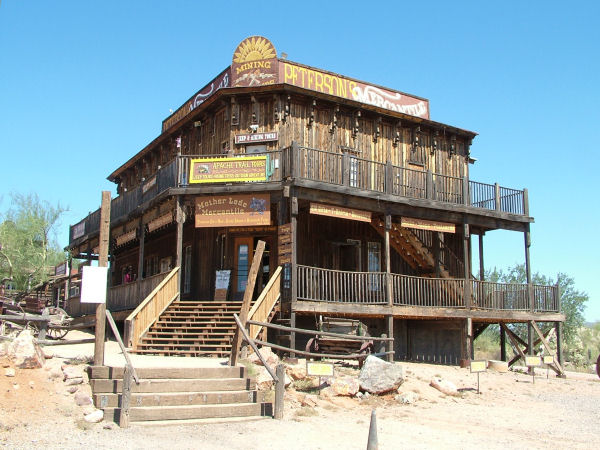
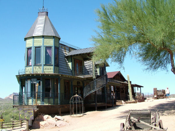
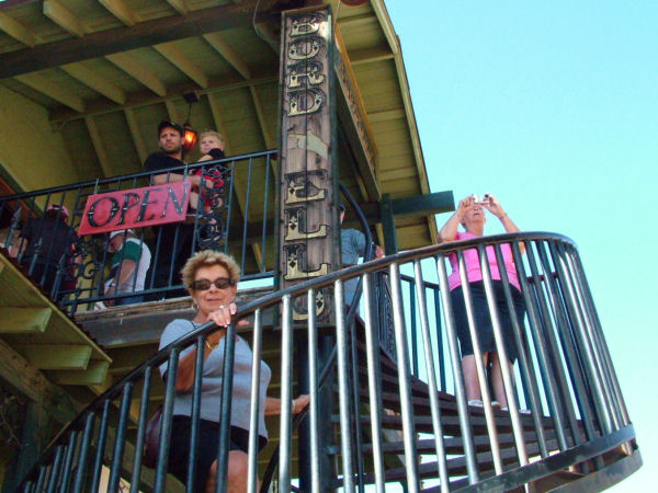
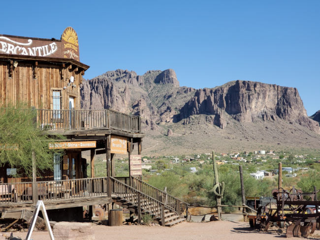
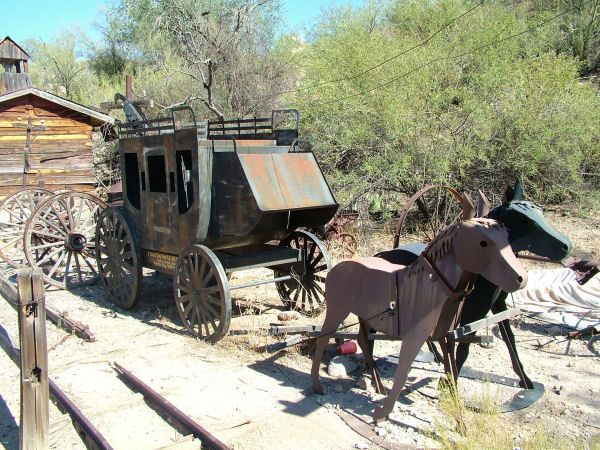
Goldfield Ghost Town
The town that struck gold in 1892
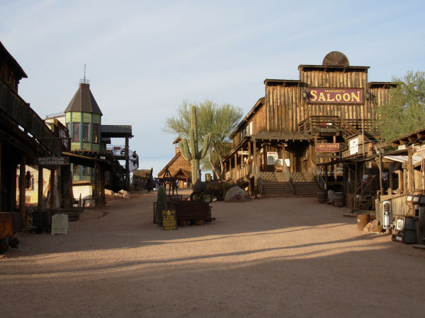
Goldfield is an authentic reconstructed town that struck gold in 1892
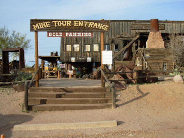
Entrance to the Mine and Panning for Gold
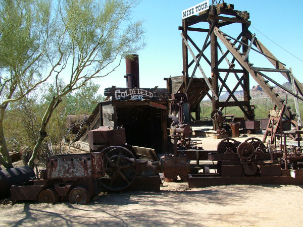
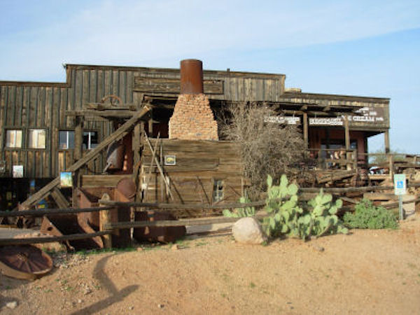
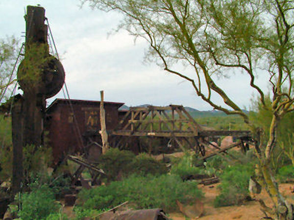
Goldfield Mine
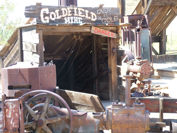
Gold Mine
Ice cream shop
General Store
The Bordello
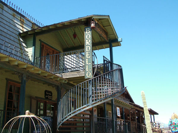
The Bordello
Lady's clothing for sale
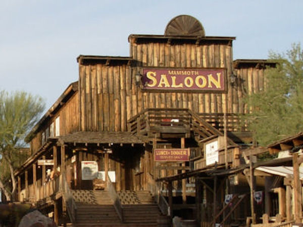
The Saloon for Lunch or Dinner
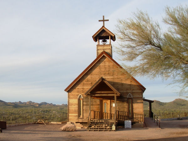
The Church. Have your wedding here!
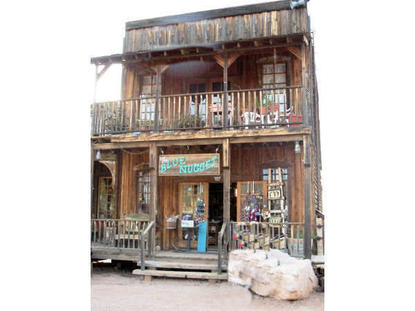
Blue Nugget souvenir shop
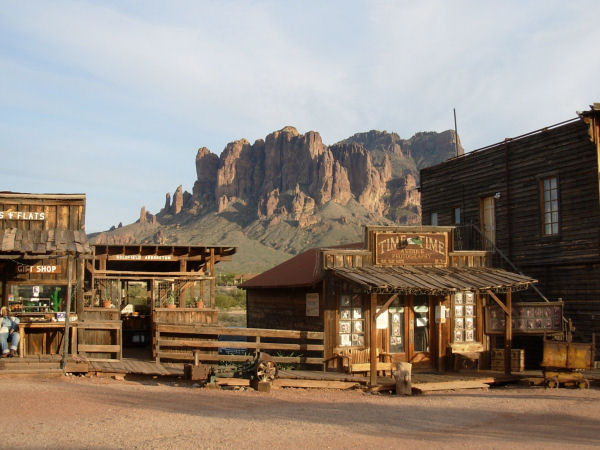
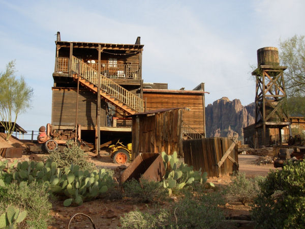
Goldfield backdropped by the Superstition Mountains
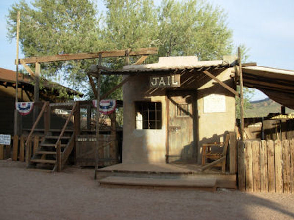
The Jail and the Gallows (left)
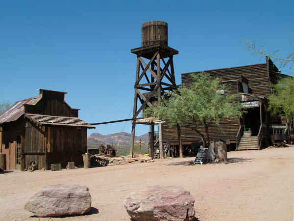
Water tower
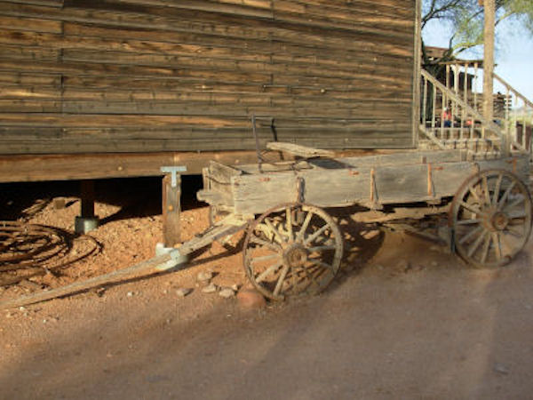
Abandoned buckboard
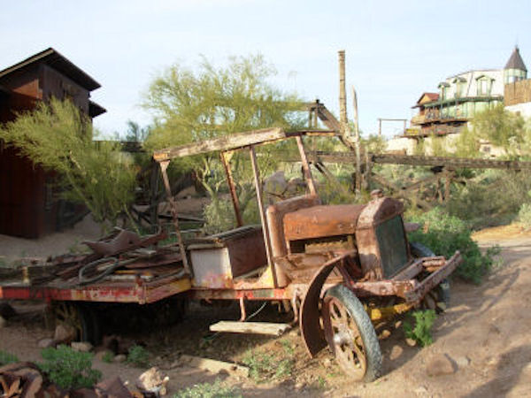
Abandoned truck
Abandoned Bridge
Abandoned tractor
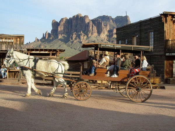
Take a buggy tour or a train ride through Goldfield
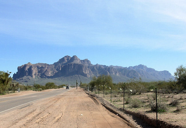
Superstition Mountain
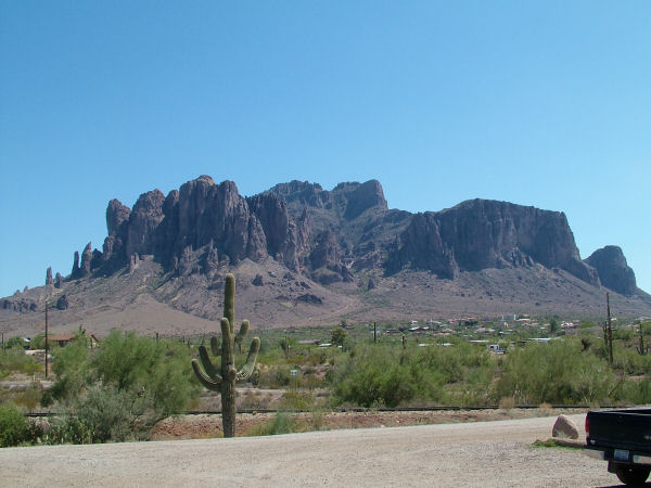
Superstition Mountain
Goldfield Re-enactors
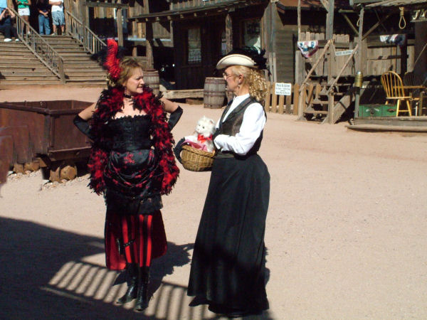
Ladies about town and....
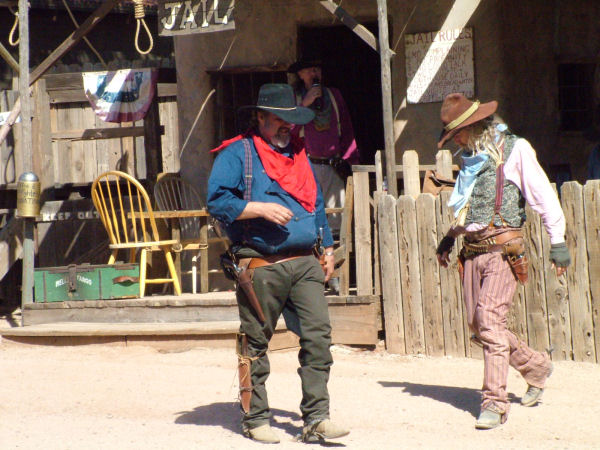
Gunslingers
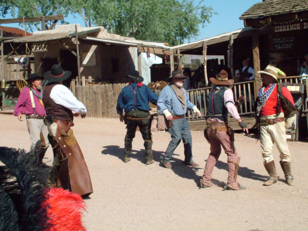
Trouble brewing in town
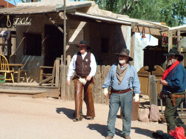
The sherriff shows up
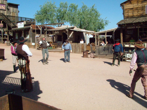
The shoot-out
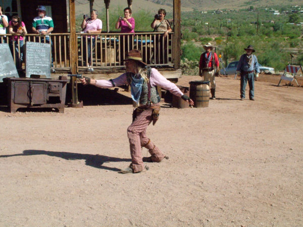
The fastest draw
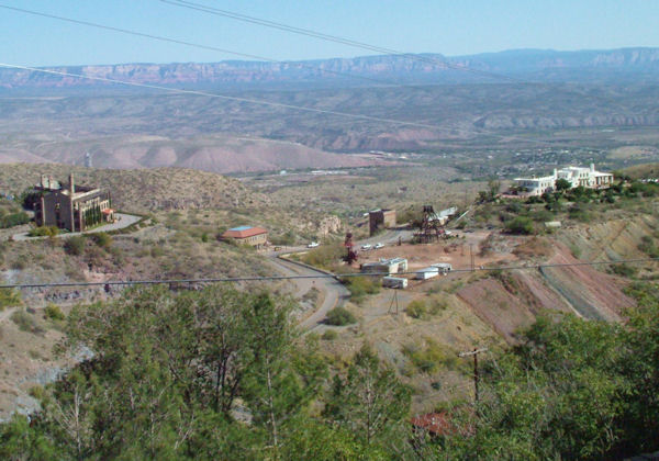
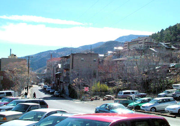
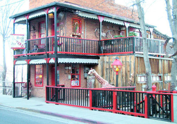
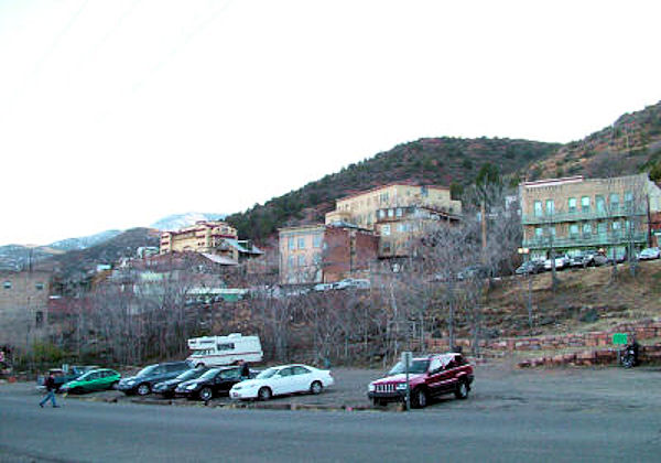
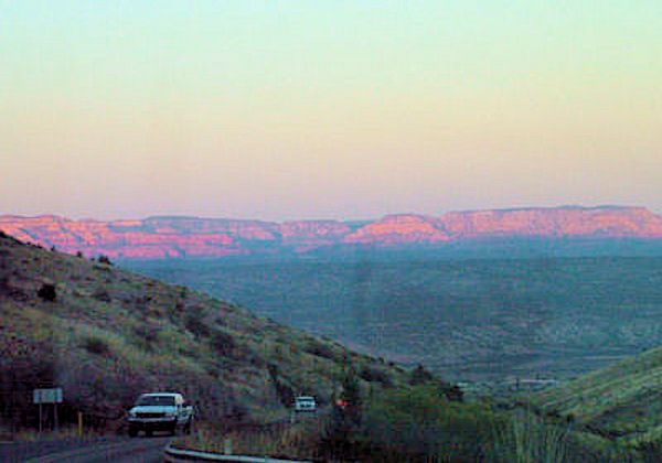
Jerome, Arizona
More than 5,000 feet above sea level high on Cleopatra Hill
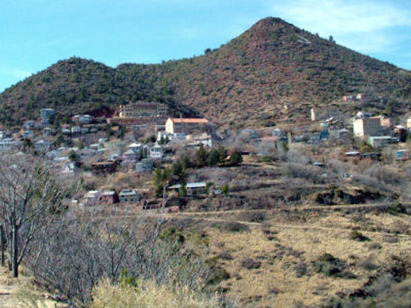
My photo of Jerome in 2007
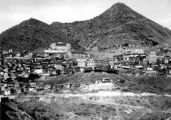
Web photo of Jerome in 1927
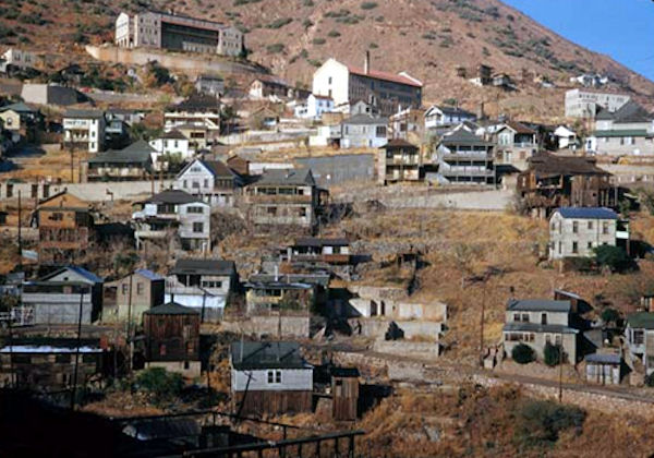
Jerome was called the Wickedest town in the West due to the number of saloons and brothels
Jerome produced over a billion dollars worth of copper, gold, silver and zinc
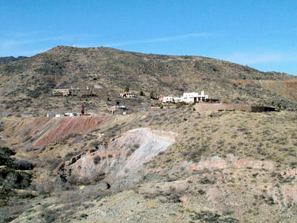
Jerome became a National Historic Landmark in 1967.
Residents have turned to tourism and retail sales to save the town from oblivion
Jerome is art galleries, coffee houses, and restaurants.
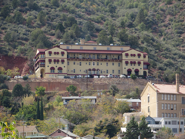
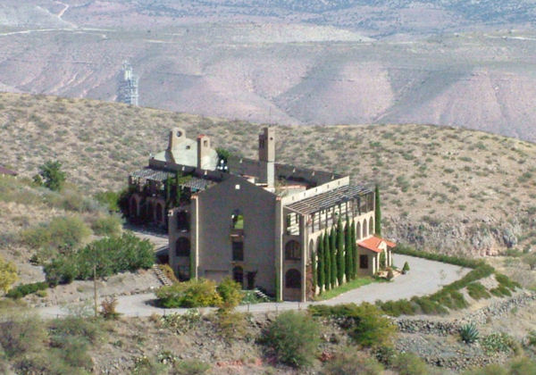
Jerome's Haunted Grand Hotel overlooks the Verde Valley,
Purple Mountain Majesty
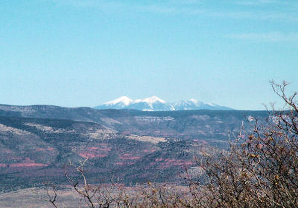
Snow-capped Four Peaks Mountain as seen from Jerome
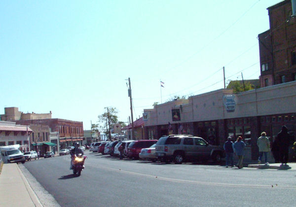
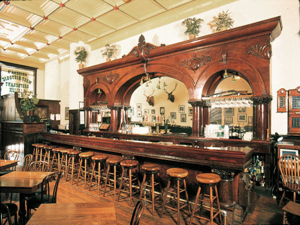
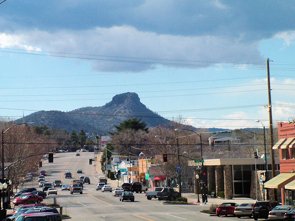
Prescott, Arizona
Whiskey Row
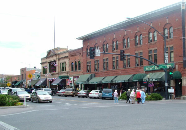
Whiskey Row is a reminder of Wyatt Earp, Doc Holliday, and the saloons of the Old West
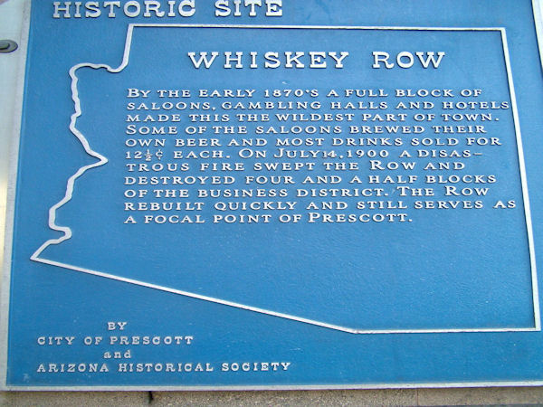
Prescott's Whiskey Row has a rough-and-tumble past of serving cowboys, lawmen, miners, ranchers, politicians and business men since the late 1800’s
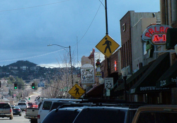
Whiskey Row and the Palace Saloon
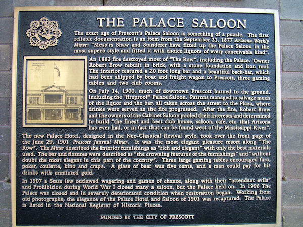
As Prescott burned to the ground, patrons saved the liquor and the bar by taking them across the street to the Plaza
The bar contimued to serve patrons as Whiskey Row and the Palace Saloon burned to the ground
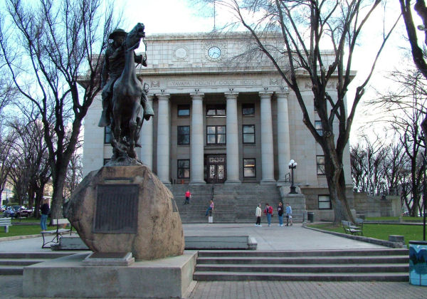
Courthouse Plaza, Prescott, AZ
The north side of the Courthouse Plaza,
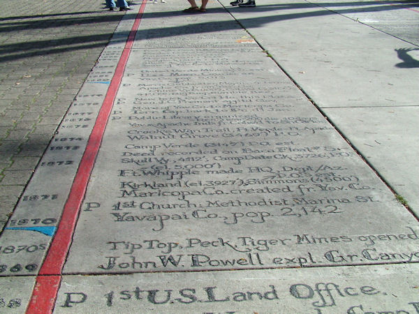
features a timeline embossed and painted into the concrete walk
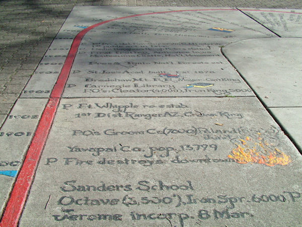
The Plaza timeline is laid out in an elongated U-shape
Some events are shown with illustrations.
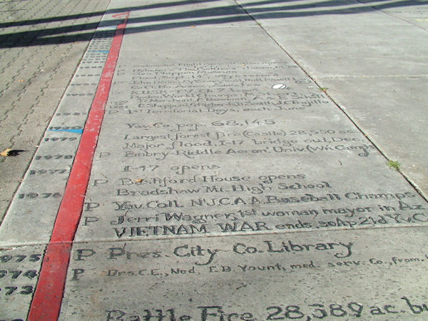
The Plaza timeline features events from the History of Yavapai County
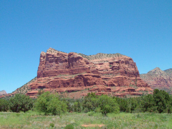
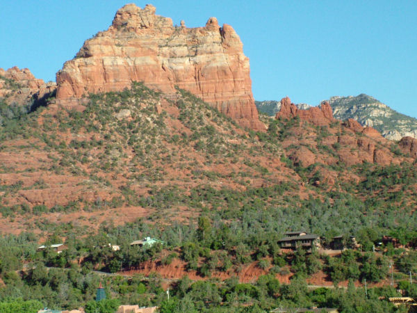
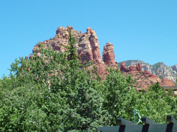
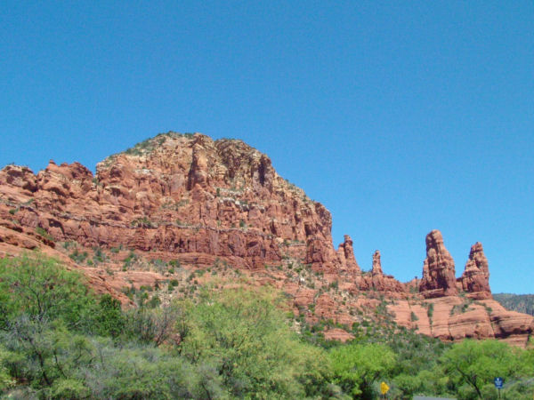
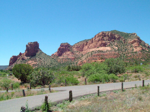
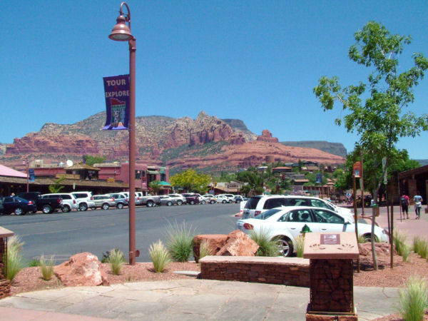
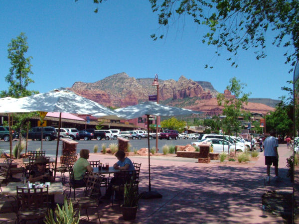
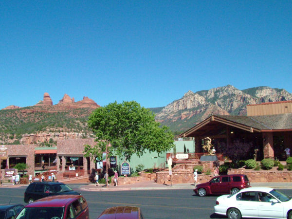
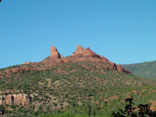
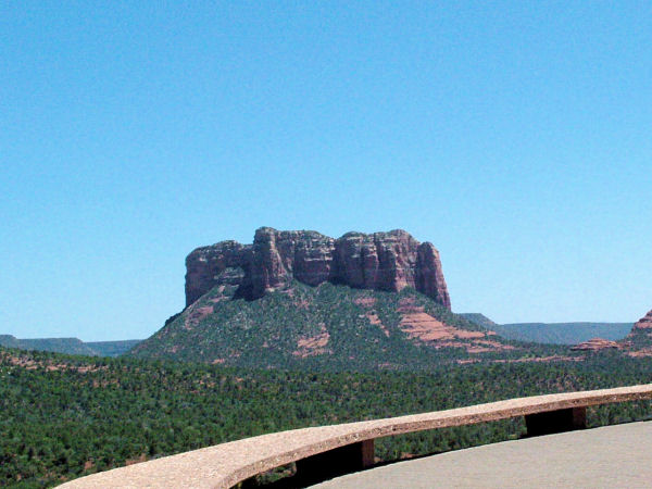
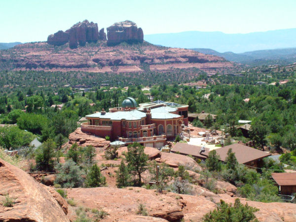
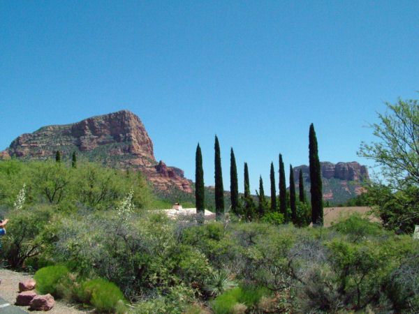
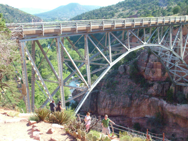
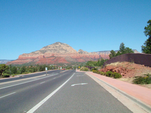
Sedona, Arizona
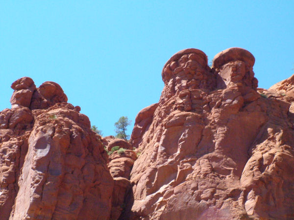
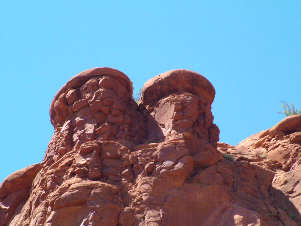
The Red Rocks of Sedona
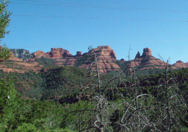
Multi-hued stone formations jutt upwards from the high desert floor to create vivid and mesmerizing settings

Bell Rock
Snoopy Rock
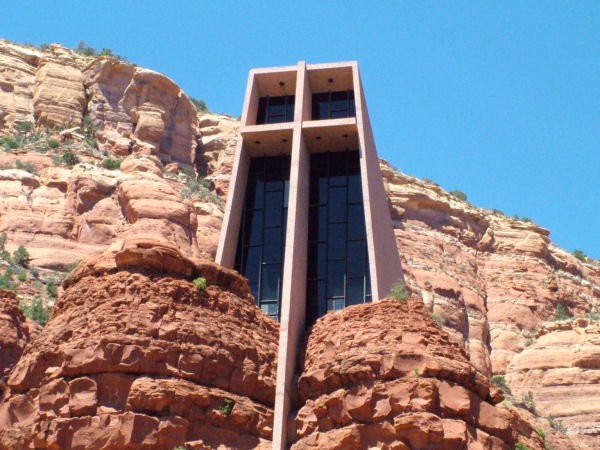
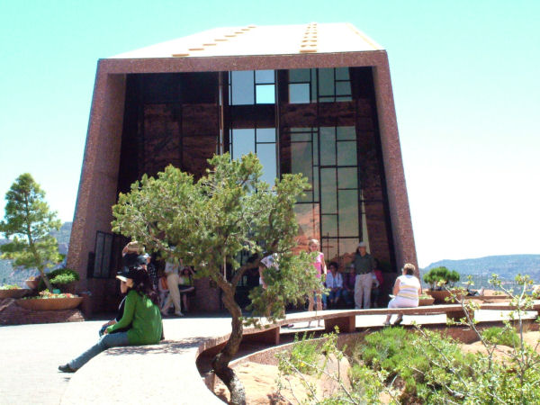
The Chapel of the Holy Cross
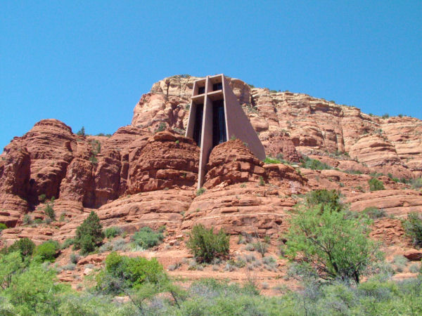
A church built right into the red rocks of Sedona Arizona
Oak Creek
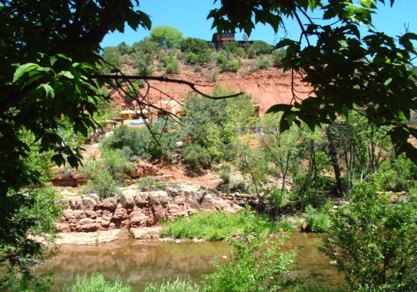
Oak Creek is a tributary of the Verde River.
Oak Creek is largely responsible for carving the modern Oak Creek Canyon
Oak Creek Canyon ranges in depth from 800 to 2,000 feet.
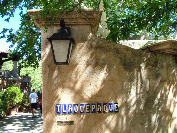
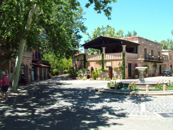
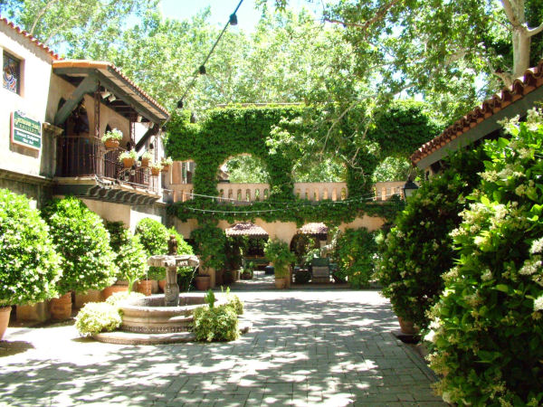
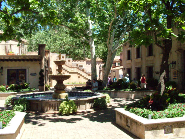
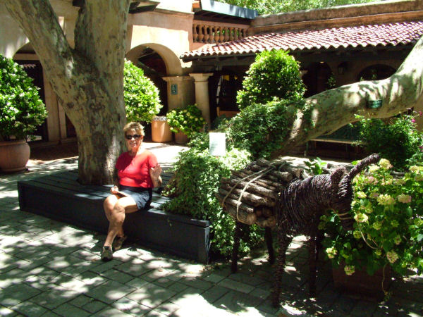
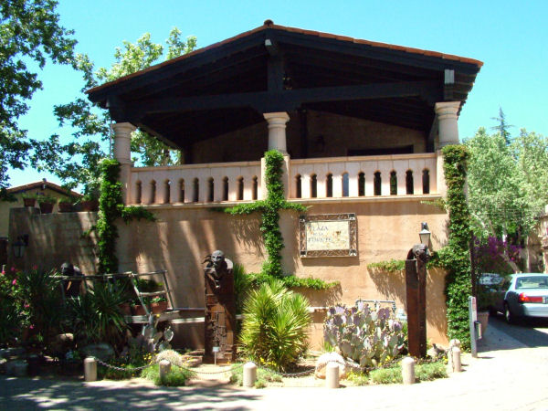
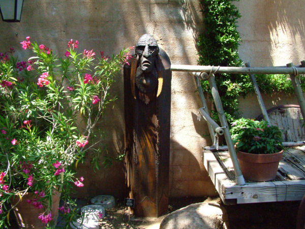
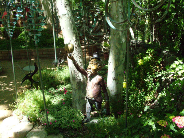
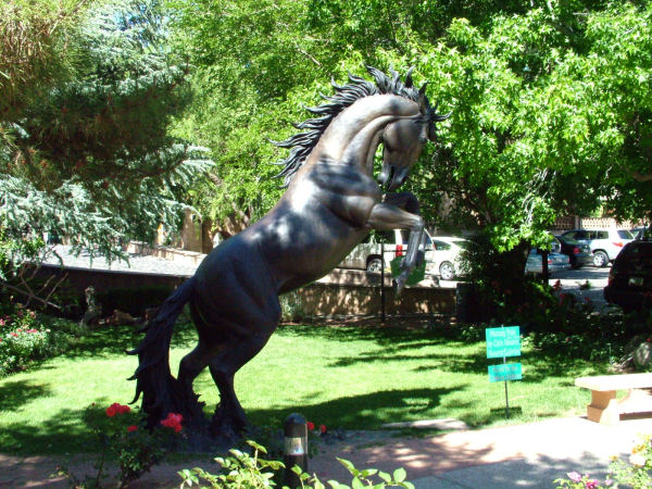
Tlaquepaque, AZ
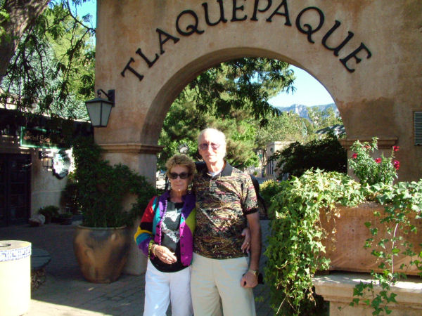
Tlaquepaque Arts & Crafts Village

Tortilla Flat
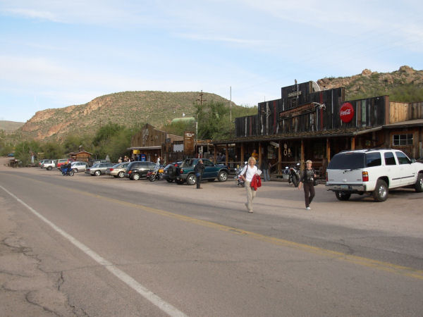
Tortilla Flat, Arizona (Pop. 6)
Tortilla Flat began as a stage stop on the Apache Trail in 1904
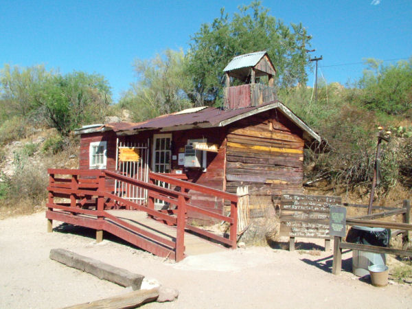
Tortilla Flat Museum
The history of the town and its six residents
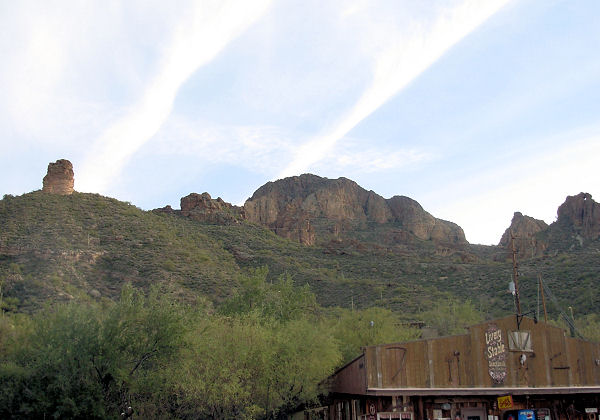
Tortilla Flat is in the Superstition Mountains
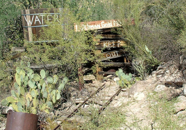
But this is NOT the real Lost Dutchman Gold Mine
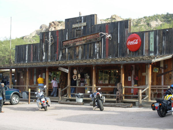
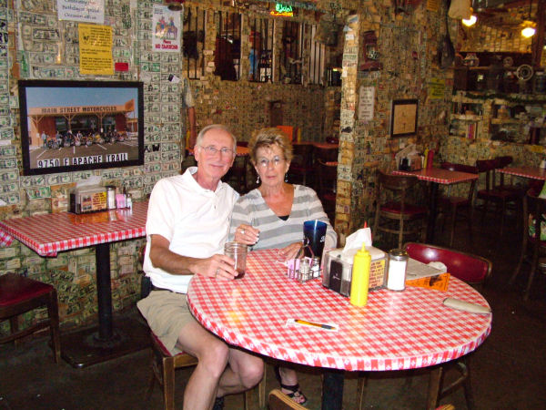
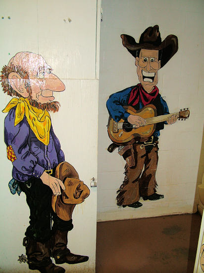
The Superstition Saloon
Famous for the biggest burgers, killer chili and the coldest drinks
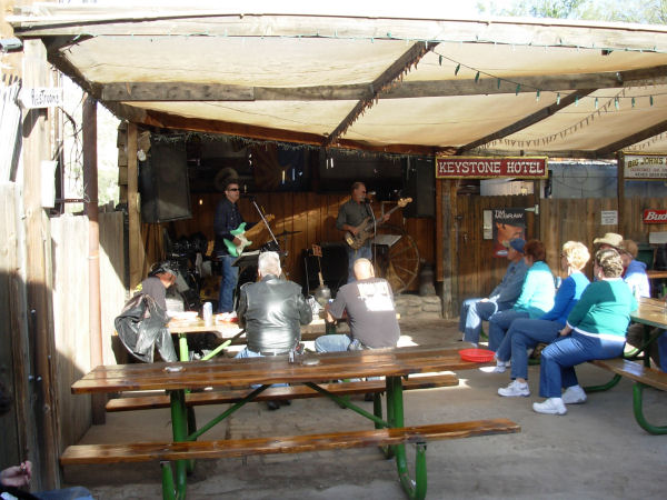
Superstition Saloon's patio
features fine country music with your food and drink
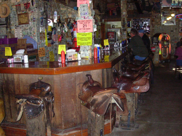
Superstition Saloon's bar stools are saddles
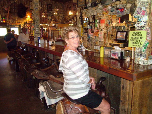
If the saddle fits, get comfortable
Hot chili and cold beer, Yeah!
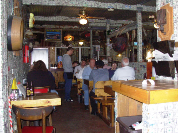
Every wall, rafter and post is covered in real money pasted there from visitors world wide
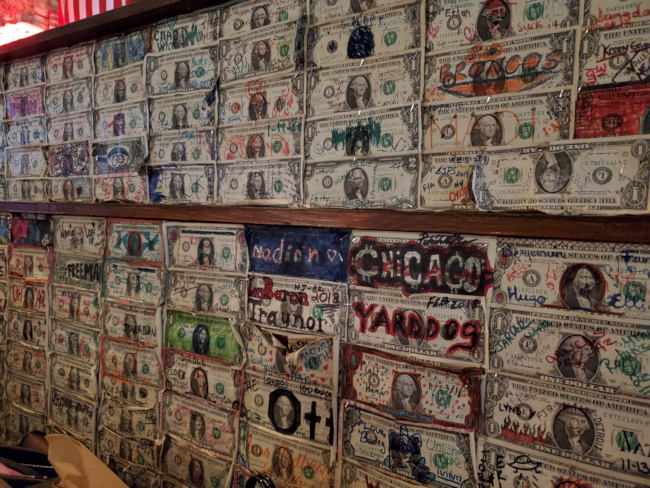
Walls of money

Superstition Saloon
Bathroom stall in the lady's room

Superstition Saloon
Bathroom stall in the lady's room
Superstition Saloon
Men's room entrance
Superstition Saloon
Bathroom stall in the men's room
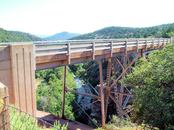
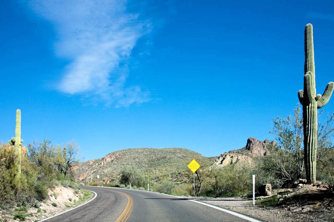
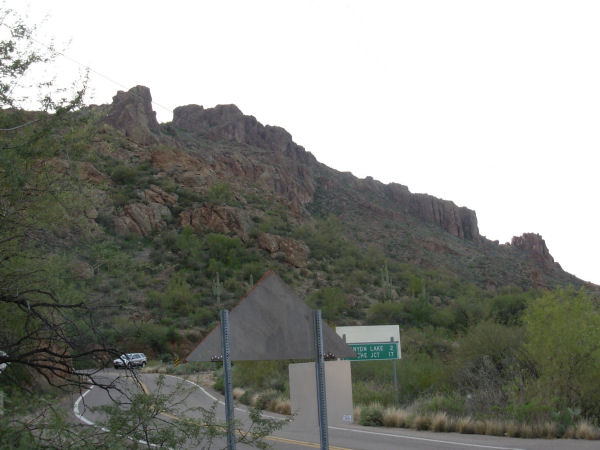
The Apache Trail
Rte 88 to Roosevelt Lake
The Superstition Mountain along Brown Road in Apache Junction
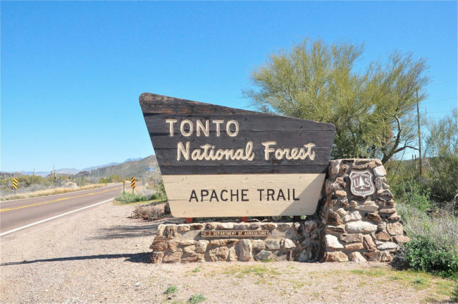
The Apache Tribal was a stagecoach road built in 1903 that cowboys and miners once traveled during construction of the Roosevelt Dam.
Follow the trail to nearby Tortilla Flat, an old Western town and a former stagecoach stop in the middle of Arizona’s Tonto National Forest.
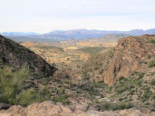
Desert vistas along the Apache Trail are overwhelming

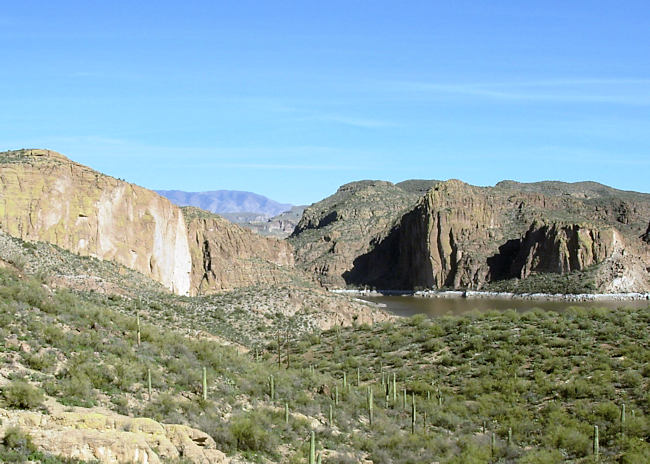
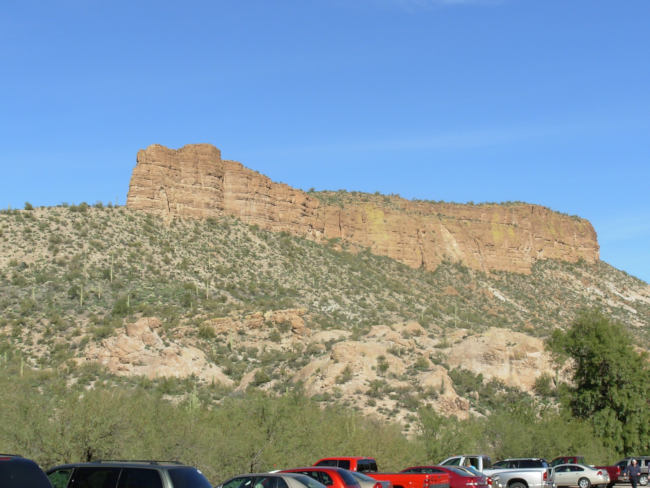
Canyon Lake

Canyon Lake is one of 5 lakes along the Salt River
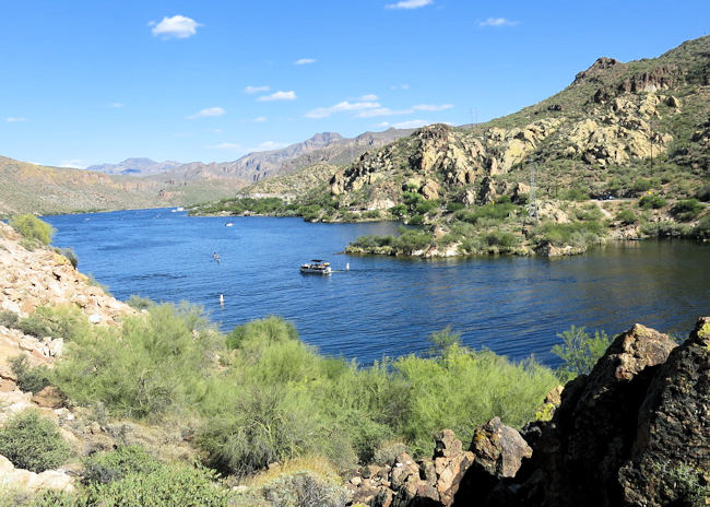
Canyon Lake
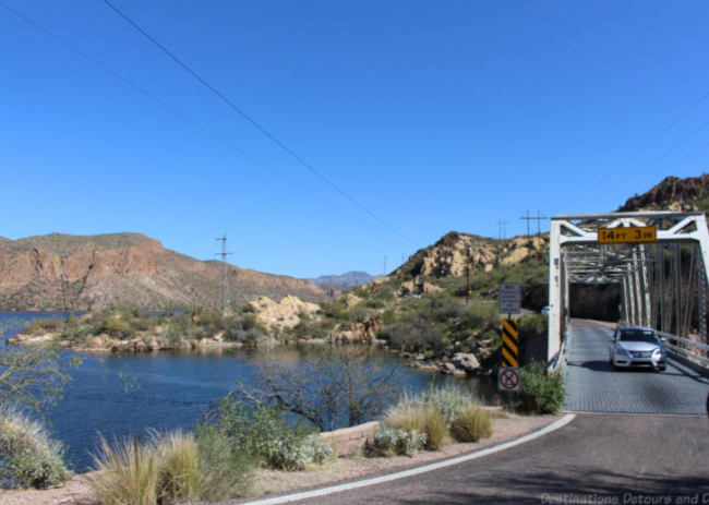
A one-lane bridge over the Salt River at Canyon Lake
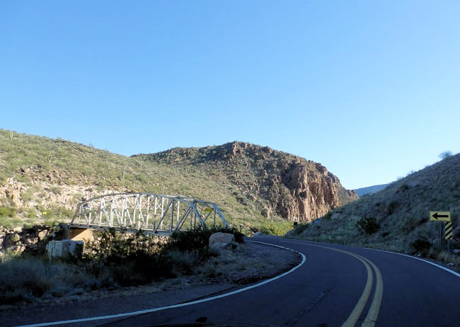
Another one-lane bridge over the Salt River at Canyon Lake
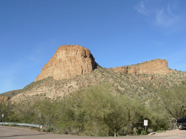
The towering walls of the Superstitions
Apache Trail at Tortilla Flat
At Tortilla Flat
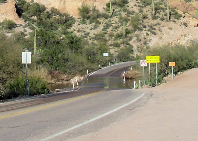
The Salt River crosses the Apache Trail at Tortilla Flat
Google Map Goldfield Ghost Town
Google Map Jerome, AZ
Google Map Prescott, AZ
Google Map Sedona, Arizona
Google Map Tortilla Flat, AZ
©Copyright 2000
All rights reserved. No part of this publication may be reproduced,
stored, or transmitted in any form without my prior permission. Charles Tyrrell, Webmaster
stored, or transmitted in any form without my prior permission. Charles Tyrrell, Webmaster